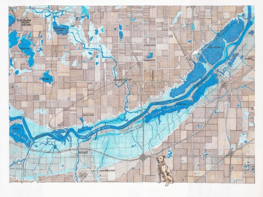
My new map of the Minnesota River at Bloomington compares the current freeway system to two historic maps, listed below. Place names referenced include Dakota, Ojibwe, and French reflecting the rich history of the area. It is drawn in ink and is 24 inches wide by 18 inches high.
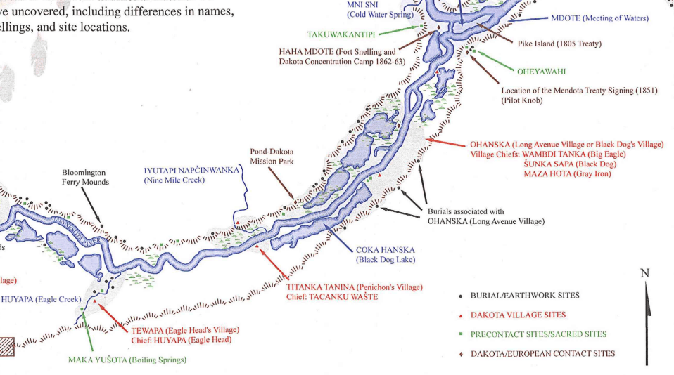
The Shakopee Mdewakanton Sioux Community’s map of the Dakota Presence in the River Valley inspired the map, which locates the Dakota villages and burial/earthwork sites.
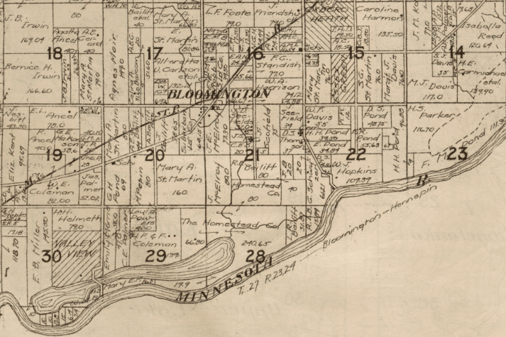
Another source of inspiration is the University of Minnesota – John Borchert Library’s Digitized State of Minnesota Plat Book — 1916 that show the area divided up into farms and towns that were the beginning of the urban area we know today.
I having a solo show at Artistry in Bloomington coming up! New work on display will include this map of the Mississippi River at Bloomington and the Lac qui Parle and Granite Falls commissions that I have been working on. Come visit!
Contours of the Past and Today
Nov 20, 2026 through Jan 3, 2027
Opening Reception
Sunday Nov 22, 2026 1pm-3pm
Atrium Gallery
Monday-Friday 8am-10pm
Saturday 9am-10pm
Sunday 12pm-6pm
ARTISTRY Theater and Visual Arts
Bloomington Center for the Arts
1800 West Old Shakopee Road
Bloomington, MN 55431

